GIS Remote Sensing in ArcGIS
Original price was: ر.س2,471.68.ر.س75.61Current price is: ر.س75.61.
Courses Included
Description
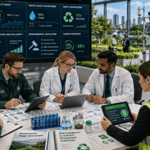
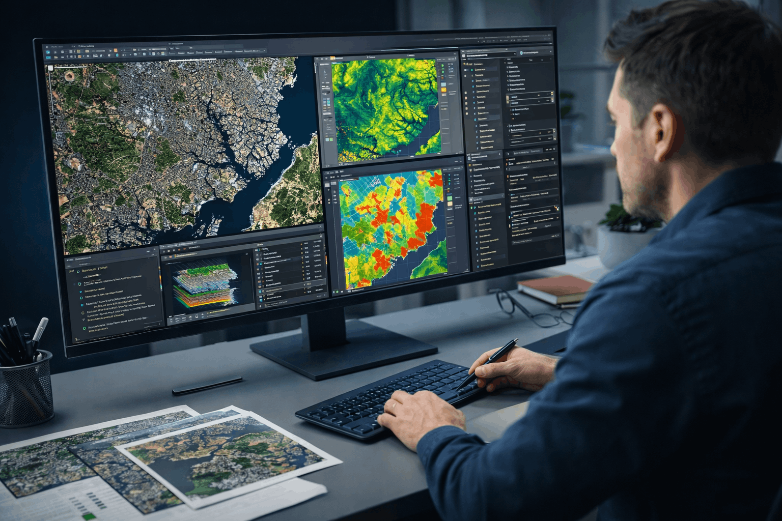
If you want to build practical geospatial skills that are genuinely valued in research, planning, and data-driven decision-making, GIS Remote Sensing is a powerful investment in your professional development. This course is designed for learners who want hands-on capability, not just theoretical awareness, and who want to confidently work with satellite imagery and raster data using ArcGIS.
What makes this course stand out is its applied focus. You will learn how spatial data is transformed into meaningful insight for real-world problems such as land-use planning, environmental analysis, site suitability assessment, and watershed modelling. The course is structured to help you think like a GIS analyst — understanding not only how tools work, but why they are used in professional workflows.
The delivery style is flexible and learner-friendly, allowing you to study at your own pace and revisit complex processes whenever needed. This makes the course ideal whether you are balancing work, studies, or research commitments. Concepts are presented clearly and logically, helping you develop confidence when working with raster datasets, satellite images, and spatial analysis outputs.
Enrolling in this course also gives you access to dependable learner support. You will benefit from 5-star rated support available 24/7 via email, ensuring that help is always available when you need clarification or guidance. On completion, you receive a free course completion certificate, providing immediate recognition of your achievement. For those who require formal documentation for academic, professional, or portfolio use, premium certificate and transcript options are available for purchase, offering added credibility.
This course is ideal for learners who want skills that translate directly into opportunity. Whether you are aiming to enhance your CV, support academic research, transition into a GIS-related role, or strengthen your analytical toolkit, GIS Remote Sensing delivers clear value through practical relevance, flexible learning, and recognised certification.
If you are serious about developing real GIS capability rather than surface-level knowledge, this course provides a focused, reliable, and career-aligned learning experience.
Related products
-
Sale!

Floristry Level 3 Advanced Diploma
Original price was: ر.س2,471.68.ر.س75.61Current price is: ر.س75.61. Add to basket -
Sale!
Environmental Health Level 8 Advanced Diploma
Original price was: ر.س2,471.68.ر.س75.61Current price is: ر.س75.61. Add to basket -
Sale!
Bioprocess Engineering Level 3 Advanced Diploma
Original price was: ر.س2,471.68.ر.س75.61Current price is: ر.س75.61. Add to basket