Course Features
Price
Study Method
Online | Self-paced
Course Format
Interactive PDFs, Articles & Learning Resources
Duration
7 hours, 45 minutes
Qualification
Professional Skills Development Course
Assessment
Final MCQ Exam (included in price)
Certificate
Verifiable Digital Certificate - Free
Additional info
Lifetime Access | Start Instantly
- Share
Overview
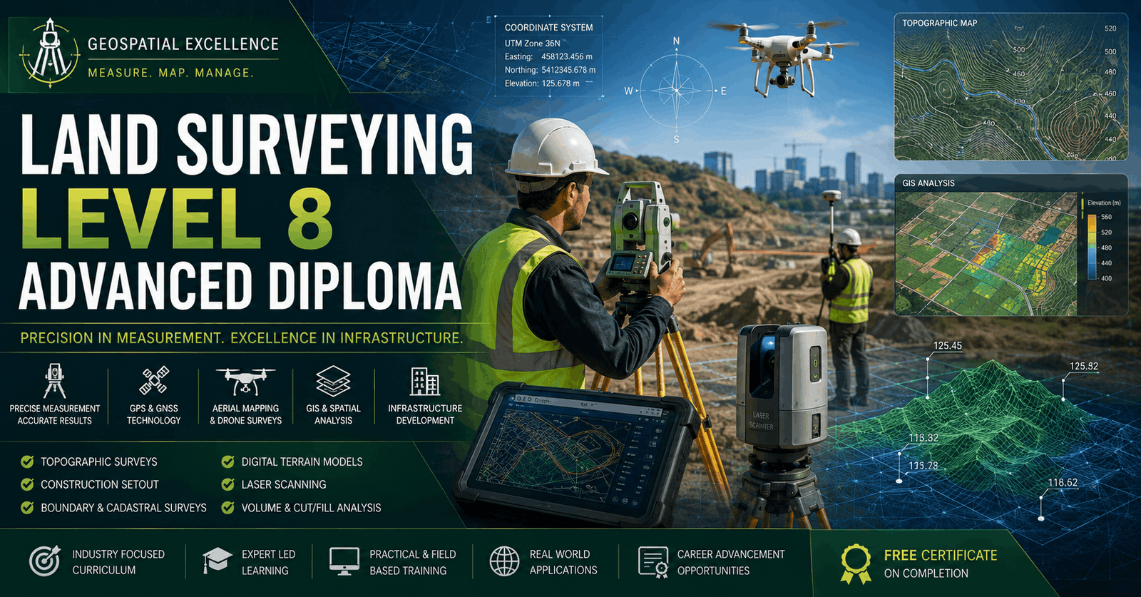
Land Surveying Course is designed to provide advanced technical knowledge, practical field skills, and industry-relevant expertise for individuals pursuing a career in surveying, geospatial science, construction, and civil engineering. This comprehensive Level 8 diploma covers the full spectrum of modern surveying practices, from fundamental principles to advanced digital technologies and project management applications.
The course begins with a strong foundation in surveying principles, terminology, legal standards, and professional ethics within the UK context. Learners will gain an understanding of different types of land surveys and the critical importance of accuracy, safety, and regulatory compliance in surveying work.
A key focus of the programme is geodesy and coordinate systems, where learners will explore global and national reference systems, GPS and GNSS technologies, and spatial transformations. This provides the essential scientific backbone required for modern surveying practice and geospatial data interpretation.
The course also develops practical knowledge of advanced surveying instruments and technologies, including total stations, laser scanning, LiDAR systems, drones, and photogrammetry. These tools are essential in today’s digital surveying environments and infrastructure development projects.
Learners will gain expertise in data collection, processing, and analysis, including coordinate geometry (COGO), GIS integration, and survey report preparation. The programme also covers land and property boundary surveying, helping learners understand legal frameworks, title plans, dispute resolution, and easement rights.
In addition, the course focuses on engineering and construction surveying, including setting out techniques, deformation monitoring, earthworks calculations, and infrastructure project applications. Project management skills are also developed, covering planning, budgeting, risk management, client communication, and quality assurance.
Finally, learners will explore emerging trends such as AI, IoT, smart surveying systems, and sustainable practices shaping the future of the industry. By completing this diploma, learners will be equipped with both theoretical knowledge and practical expertise to succeed in modern surveying roles.
Upon successful completion, learners will receive a free course completion certificate. Multiple premium certificate and transcript options are also available for purchase. Students also benefit from 5-star rated support available 24/7 via email.Completing this course can lead to roles such as Land Surveyor, Geospatial Analyst, GIS Technician, Construction Surveyor, or Engineering Surveying Assistant. It also provides strong preparation for advanced studies in geospatial science, civil engineering, and land management.
Who is this course for?
Land Surveying Course is designed to provide advanced technical knowledge, practical field skills, and industry-relevant expertise for individuals pursuing a career in surveying, geospatial science, construction, and civil engineering. This comprehensive Level 8 diploma covers the full spectrum of modern surveying practices, from fundamental principles to advanced digital technologies and project management applications.
The course begins with a strong foundation in surveying principles, terminology, legal standards, and professional ethics within the UK context. Learners will gain an understanding of different types of land surveys and the critical importance of accuracy, safety, and regulatory compliance in surveying work.
A key focus of the programme is geodesy and coordinate systems, where learners will explore global and national reference systems, GPS and GNSS technologies, and spatial transformations. This provides the essential scientific backbone required for modern surveying practice and geospatial data interpretation.
The course also develops practical knowledge of advanced surveying instruments and technologies, including total stations, laser scanning, LiDAR systems, drones, and photogrammetry. These tools are essential in today’s digital surveying environments and infrastructure development projects.
Learners will gain expertise in data collection, processing, and analysis, including coordinate geometry (COGO), GIS integration, and survey report preparation. The programme also covers land and property boundary surveying, helping learners understand legal frameworks, title plans, dispute resolution, and easement rights.
In addition, the course focuses on engineering and construction surveying, including setting out techniques, deformation monitoring, earthworks calculations, and infrastructure project applications. Project management skills are also developed, covering planning, budgeting, risk management, client communication, and quality assurance.
Finally, learners will explore emerging trends such as AI, IoT, smart surveying systems, and sustainable practices shaping the future of the industry. By completing this diploma, learners will be equipped with both theoretical knowledge and practical expertise to succeed in modern surveying roles.
Upon successful completion, learners will receive a free course completion certificate. Multiple premium certificate and transcript options are also available for purchase. Students also benefit from 5-star rated support available 24/7 via email.Completing this course can lead to roles such as Land Surveyor, Geospatial Analyst, GIS Technician, Construction Surveyor, or Engineering Surveying Assistant. It also provides strong preparation for advanced studies in geospatial science, civil engineering, and land management.
Requirements
Land Surveying Course is designed to provide advanced technical knowledge, practical field skills, and industry-relevant expertise for individuals pursuing a career in surveying, geospatial science, construction, and civil engineering. This comprehensive Level 8 diploma covers the full spectrum of modern surveying practices, from fundamental principles to advanced digital technologies and project management applications.
The course begins with a strong foundation in surveying principles, terminology, legal standards, and professional ethics within the UK context. Learners will gain an understanding of different types of land surveys and the critical importance of accuracy, safety, and regulatory compliance in surveying work.
A key focus of the programme is geodesy and coordinate systems, where learners will explore global and national reference systems, GPS and GNSS technologies, and spatial transformations. This provides the essential scientific backbone required for modern surveying practice and geospatial data interpretation.
The course also develops practical knowledge of advanced surveying instruments and technologies, including total stations, laser scanning, LiDAR systems, drones, and photogrammetry. These tools are essential in today’s digital surveying environments and infrastructure development projects.
Learners will gain expertise in data collection, processing, and analysis, including coordinate geometry (COGO), GIS integration, and survey report preparation. The programme also covers land and property boundary surveying, helping learners understand legal frameworks, title plans, dispute resolution, and easement rights.
In addition, the course focuses on engineering and construction surveying, including setting out techniques, deformation monitoring, earthworks calculations, and infrastructure project applications. Project management skills are also developed, covering planning, budgeting, risk management, client communication, and quality assurance.
Finally, learners will explore emerging trends such as AI, IoT, smart surveying systems, and sustainable practices shaping the future of the industry. By completing this diploma, learners will be equipped with both theoretical knowledge and practical expertise to succeed in modern surveying roles.
Upon successful completion, learners will receive a free course completion certificate. Multiple premium certificate and transcript options are also available for purchase. Students also benefit from 5-star rated support available 24/7 via email.Completing this course can lead to roles such as Land Surveyor, Geospatial Analyst, GIS Technician, Construction Surveyor, or Engineering Surveying Assistant. It also provides strong preparation for advanced studies in geospatial science, civil engineering, and land management.
Career path
Land Surveying Course is designed to provide advanced technical knowledge, practical field skills, and industry-relevant expertise for individuals pursuing a career in surveying, geospatial science, construction, and civil engineering. This comprehensive Level 8 diploma covers the full spectrum of modern surveying practices, from fundamental principles to advanced digital technologies and project management applications.
The course begins with a strong foundation in surveying principles, terminology, legal standards, and professional ethics within the UK context. Learners will gain an understanding of different types of land surveys and the critical importance of accuracy, safety, and regulatory compliance in surveying work.
A key focus of the programme is geodesy and coordinate systems, where learners will explore global and national reference systems, GPS and GNSS technologies, and spatial transformations. This provides the essential scientific backbone required for modern surveying practice and geospatial data interpretation.
The course also develops practical knowledge of advanced surveying instruments and technologies, including total stations, laser scanning, LiDAR systems, drones, and photogrammetry. These tools are essential in today’s digital surveying environments and infrastructure development projects.
Learners will gain expertise in data collection, processing, and analysis, including coordinate geometry (COGO), GIS integration, and survey report preparation. The programme also covers land and property boundary surveying, helping learners understand legal frameworks, title plans, dispute resolution, and easement rights.
In addition, the course focuses on engineering and construction surveying, including setting out techniques, deformation monitoring, earthworks calculations, and infrastructure project applications. Project management skills are also developed, covering planning, budgeting, risk management, client communication, and quality assurance.
Finally, learners will explore emerging trends such as AI, IoT, smart surveying systems, and sustainable practices shaping the future of the industry. By completing this diploma, learners will be equipped with both theoretical knowledge and practical expertise to succeed in modern surveying roles.
Upon successful completion, learners will receive a free course completion certificate. Multiple premium certificate and transcript options are also available for purchase. Students also benefit from 5-star rated support available 24/7 via email.Completing this course can lead to roles such as Land Surveyor, Geospatial Analyst, GIS Technician, Construction Surveyor, or Engineering Surveying Assistant. It also provides strong preparation for advanced studies in geospatial science, civil engineering, and land management.
-
- Introduction to Land Surveying and Its Historical Development 00:10:00
- Surveying Terminology and Standards in the UK 00:10:00
- Legal and Ethical Aspects in Land Surveying 00:10:00
- Types of Surveys and Their Applications 00:10:00
- Health and Safety Regulations in Surveying 00:10:00
-
- Fundamentals of Geodesy 00:10:00
- Coordinate Reference Systems in the UK (OSGB36, ETRS89) 00:10:00
- Geodetic Datums and Projections 00:10:00
- GPS and GNSS Technologies in Surveying 00:10:00
- Transformation Between Coordinate Systems 00:10:00
- Total Stations and Theodolites – Operation and Calibration 00:10:00
- GPS Survey Equipment and Data Collection 00:10:00
- Laser Scanning and LiDAR Technology 00:10:00
- Unmanned Aerial Vehicles (Drones) for Surveying 00:10:00
- Photogrammetry and Remote Sensing Applications 00:10:00
- Legal Framework for Land Boundaries in the UK 00:10:00
- Title Plans, Land Registry, and Boundaries 00:10:00
- Boundary Disputes and Conflict Resolution 00:10:00
- Rights of Way and Easements 00:10:00
- Practical Boundary Surveying Techniques 00:10:00
- Planning and Organising Survey Projects 00:10:00
- Budgeting and Resource Allocation 00:10:00
- Client Communication and Reporting 00:10:00
- Quality Assurance and Risk Management 00:10:00
- Legal and Contractual Considerations 00:10:00
- Exam of Land Surveying Level 8 Advanced Diploma 00:50:00

No Reviews found for this course.
Is this certificate recognized?
Yes, our premium certificate and transcript are widely recognized and accepted by embassies worldwide, particularly by the UK embassy. This adds credibility to your qualification and enhances its value for professional and academic purposes.
I am a beginner. Is this course suitable for me?
Yes, this course is designed for learners of all levels, including beginners. The content is structured to provide step-by-step guidance, ensuring that even those with no prior experience can follow along and gain valuable knowledge.
I am a professional. Is this course suitable for me?
Yes, professionals will also benefit from this course. It covers advanced concepts, practical applications, and industry insights that can help enhance existing skills and knowledge. Whether you are looking to refine your expertise or expand your qualifications, this course provides valuable learning.
Does this course have an expiry date?
No, you have lifetime access to the course. Once enrolled, you can revisit the materials at any time as long as the course remains available. Additionally, we regularly update our content to ensure it stays relevant and up to date.
How do I claim my free certificate?
I trust you’re in good health. Your free certificate can be located in the Achievement section. The option to purchase a CPD certificate is available but entirely optional, and you may choose to skip it. Please be aware that it’s crucial to click the “Complete” button to ensure the certificate is generated, as this process is entirely automated.
Does this course have assessments and assignments?
Yes, the course includes both assessments and assignments. Your final marks will be determined by a combination of 20% from assignments and 80% from assessments. These evaluations are designed to test your understanding and ensure you have grasped the key concepts effectively.
Is this course accredited?
We are a recognized course provider with CPD, UKRLP, and AOHT membership. The logos of these accreditation bodies will be featured on your premium certificate and transcript, ensuring credibility and professional recognition.
Will I receive a certificate upon completion?
Yes, you will receive a free digital certificate automatically once you complete the course. If you would like a premium CPD-accredited certificate, either in digital or physical format, you can upgrade for a small fee.
Course Features
Price
Study Method
Online | Self-paced
Course Format
Interactive PDFs, Articles & Learning Resources
Duration
7 hours, 45 minutes
Qualification
Professional Skills Development Course
Assessment
Final MCQ Exam (included in price)
Certificate
Verifiable Digital Certificate - Free
Additional info
Lifetime Access | Start Instantly
- Share

Road to UEFA Coaching Licences: What You Need to Know
Course Line237د.ك201.16Original price was: د.ك201.16.د.ك6.15Current price is: د.ك6.15.Director of Football Level 3: Leadership and Change Management in Football Clubs
Course Line238د.ك201.16Original price was: د.ك201.16.د.ك6.15Current price is: د.ك6.15.IT Risk Manager Essentials
Course Line237د.ك201.16Original price was: د.ك201.16.د.ك6.15Current price is: د.ك6.15.


Related Courses
AutoCAD Floor Plan Rendering in Photoshop: Architectural Visualisation Professional Training
د.ك201.16Original price was: د.ك201.16.د.ك6.15Current price is: د.ك6.15.237Engineering Mathematics Level 5 Advanced Diploma
د.ك201.16Original price was: د.ك201.16.د.ك6.15Current price is: د.ك6.15.237Civil Engineering Building Construction Fundamentals: Site, Codes & Quantity Skills
د.ك201.16Original price was: د.ك201.16.د.ك6.15Current price is: د.ك6.15.2385