Course Features
Price
Study Method
Online | Self-paced
Course Format
Interactive PDFs, Articles & Learning Resources
Duration
7 hours, 25 minutes
Qualification
Professional Skills Development Course
Assessment
Final MCQ Exam (included in price)
Certificate
Verifiable Digital Certificate - Free
Additional info
Lifetime Access | Start Instantly
- Share

Overview
Cartography Course Level 3 Advanced Diploma is designed to provide learners with practical and industry-relevant knowledge in modern map design, geographic information systems (GIS), and spatial visualisation. This comprehensive programme introduces the foundations of cartography before progressing into advanced mapping techniques, digital mapping technologies, and interactive web-based geographic applications used across multiple industries worldwide.
Throughout the course, learners will explore the history and evolution of mapmaking while gaining a strong understanding of coordinate systems, map projections, spatial data formats, and thematic mapping principles. The programme also covers advanced cartographic design techniques, including typography, colour theory, terrain visualisation, map overlays, and cartographic generalisation to help students create visually effective and technically accurate maps.
In addition, students will develop hands-on familiarity with leading GIS and mapping software platforms commonly used in professional environments. The curriculum includes practical exercises in spatial analysis, web mapping technologies, and interactive map creation using modern digital tools. Learners will also gain insights into project planning, resource management, ethical standards, and professional best practices within the cartography and geospatial industries.
This diploma is suitable for individuals seeking to build technical mapping expertise for academic, business, environmental, engineering, urban planning, or research-related applications. The flexible online learning format allows students to study at their own pace while developing valuable analytical and visual communication skills relevant to today’s data-driven world.
By completing this course, learners can strengthen their understanding of spatial analysis, geographic data interpretation, and professional map design workflows that support informed decision-making across many sectors. Upon successful completion, learners will receive a free course completion certificate. Multiple premium certificate and transcript options are also available for purchase if desired. Students will additionally benefit from 5-star rated learner support available 24/7 through email assistance.
Completing this diploma may support progression into roles related to cartography, GIS analysis, mapping support, environmental research, urban planning, geospatial data management, and digital map design. Learners may also use the knowledge gained to pursue further academic studies or professional certifications in geography, GIS technologies, and spatial data analysis.
Who is this course for?
Cartography Course Level 3 Advanced Diploma is designed to provide learners with practical and industry-relevant knowledge in modern map design, geographic information systems (GIS), and spatial visualisation. This comprehensive programme introduces the foundations of cartography before progressing into advanced mapping techniques, digital mapping technologies, and interactive web-based geographic applications used across multiple industries worldwide.
Throughout the course, learners will explore the history and evolution of mapmaking while gaining a strong understanding of coordinate systems, map projections, spatial data formats, and thematic mapping principles. The programme also covers advanced cartographic design techniques, including typography, colour theory, terrain visualisation, map overlays, and cartographic generalisation to help students create visually effective and technically accurate maps.
In addition, students will develop hands-on familiarity with leading GIS and mapping software platforms commonly used in professional environments. The curriculum includes practical exercises in spatial analysis, web mapping technologies, and interactive map creation using modern digital tools. Learners will also gain insights into project planning, resource management, ethical standards, and professional best practices within the cartography and geospatial industries.
This diploma is suitable for individuals seeking to build technical mapping expertise for academic, business, environmental, engineering, urban planning, or research-related applications. The flexible online learning format allows students to study at their own pace while developing valuable analytical and visual communication skills relevant to today’s data-driven world.
By completing this course, learners can strengthen their understanding of spatial analysis, geographic data interpretation, and professional map design workflows that support informed decision-making across many sectors. Upon successful completion, learners will receive a free course completion certificate. Multiple premium certificate and transcript options are also available for purchase if desired. Students will additionally benefit from 5-star rated learner support available 24/7 through email assistance.
Completing this diploma may support progression into roles related to cartography, GIS analysis, mapping support, environmental research, urban planning, geospatial data management, and digital map design. Learners may also use the knowledge gained to pursue further academic studies or professional certifications in geography, GIS technologies, and spatial data analysis.
Requirements
Cartography Course Level 3 Advanced Diploma is designed to provide learners with practical and industry-relevant knowledge in modern map design, geographic information systems (GIS), and spatial visualisation. This comprehensive programme introduces the foundations of cartography before progressing into advanced mapping techniques, digital mapping technologies, and interactive web-based geographic applications used across multiple industries worldwide.
Throughout the course, learners will explore the history and evolution of mapmaking while gaining a strong understanding of coordinate systems, map projections, spatial data formats, and thematic mapping principles. The programme also covers advanced cartographic design techniques, including typography, colour theory, terrain visualisation, map overlays, and cartographic generalisation to help students create visually effective and technically accurate maps.
In addition, students will develop hands-on familiarity with leading GIS and mapping software platforms commonly used in professional environments. The curriculum includes practical exercises in spatial analysis, web mapping technologies, and interactive map creation using modern digital tools. Learners will also gain insights into project planning, resource management, ethical standards, and professional best practices within the cartography and geospatial industries.
This diploma is suitable for individuals seeking to build technical mapping expertise for academic, business, environmental, engineering, urban planning, or research-related applications. The flexible online learning format allows students to study at their own pace while developing valuable analytical and visual communication skills relevant to today’s data-driven world.
By completing this course, learners can strengthen their understanding of spatial analysis, geographic data interpretation, and professional map design workflows that support informed decision-making across many sectors. Upon successful completion, learners will receive a free course completion certificate. Multiple premium certificate and transcript options are also available for purchase if desired. Students will additionally benefit from 5-star rated learner support available 24/7 through email assistance.
Completing this diploma may support progression into roles related to cartography, GIS analysis, mapping support, environmental research, urban planning, geospatial data management, and digital map design. Learners may also use the knowledge gained to pursue further academic studies or professional certifications in geography, GIS technologies, and spatial data analysis.
Career path
Cartography Course Level 3 Advanced Diploma is designed to provide learners with practical and industry-relevant knowledge in modern map design, geographic information systems (GIS), and spatial visualisation. This comprehensive programme introduces the foundations of cartography before progressing into advanced mapping techniques, digital mapping technologies, and interactive web-based geographic applications used across multiple industries worldwide.
Throughout the course, learners will explore the history and evolution of mapmaking while gaining a strong understanding of coordinate systems, map projections, spatial data formats, and thematic mapping principles. The programme also covers advanced cartographic design techniques, including typography, colour theory, terrain visualisation, map overlays, and cartographic generalisation to help students create visually effective and technically accurate maps.
In addition, students will develop hands-on familiarity with leading GIS and mapping software platforms commonly used in professional environments. The curriculum includes practical exercises in spatial analysis, web mapping technologies, and interactive map creation using modern digital tools. Learners will also gain insights into project planning, resource management, ethical standards, and professional best practices within the cartography and geospatial industries.
This diploma is suitable for individuals seeking to build technical mapping expertise for academic, business, environmental, engineering, urban planning, or research-related applications. The flexible online learning format allows students to study at their own pace while developing valuable analytical and visual communication skills relevant to today’s data-driven world.
By completing this course, learners can strengthen their understanding of spatial analysis, geographic data interpretation, and professional map design workflows that support informed decision-making across many sectors. Upon successful completion, learners will receive a free course completion certificate. Multiple premium certificate and transcript options are also available for purchase if desired. Students will additionally benefit from 5-star rated learner support available 24/7 through email assistance.
Completing this diploma may support progression into roles related to cartography, GIS analysis, mapping support, environmental research, urban planning, geospatial data management, and digital map design. Learners may also use the knowledge gained to pursue further academic studies or professional certifications in geography, GIS technologies, and spatial data analysis.
-
- Understanding the fundamentals of cartography 00:10:00
- History and evolution of mapmaking 00:10:00
- Importance of maps in modern soImportance of maps in modern societyiety 00:10:00
- Overview of map design principles 00:10:00
-
- Introduction to GIS technology 00:10:00
- Key components and functionalities of GIS software 00:10:00
- Spatial data types and formats 00:10:00
- Basics of data collection and management in GIS 00:10:00
- Understanding map projections and their distortions 00:10:00
- Types of map projections and their applications 00:10:00
- Coordinate systems and map referencing 00:10:00
- Choosing the appropriate projection for different mapping purposes 00:10:00
- Advanced symbology and thematic mapping 00:10:00
- Cartographic generalization and simplification 00:10:00
- Creating inset maps and map overlays 00:10:00
- Incorporating 3D elements and terrain visualization 00:10:00
- Introduction to web mapping technologies 00:10:00
- Creating interactive maps using online platforms 00:10:00
- Incorporating dynamic data layers and user interaction 00:10:00
- Planning and executing cartography projects 00:10:00
- Budgeting and resource allocation 00:10:00
- Project documentation and quality assurance 00:10:00
- Client communication and feedback management 00:10:00
- Exam of Cartography and Map Design Level 3 Advanced Diploma 00:50:00

No Reviews found for this course.
Is this certificate recognized?
Yes, our premium certificate and transcript are widely recognized and accepted by embassies worldwide, particularly by the UK embassy. This adds credibility to your qualification and enhances its value for professional and academic purposes.
I am a beginner. Is this course suitable for me?
Yes, this course is designed for learners of all levels, including beginners. The content is structured to provide step-by-step guidance, ensuring that even those with no prior experience can follow along and gain valuable knowledge.
I am a professional. Is this course suitable for me?
Yes, professionals will also benefit from this course. It covers advanced concepts, practical applications, and industry insights that can help enhance existing skills and knowledge. Whether you are looking to refine your expertise or expand your qualifications, this course provides valuable learning.
Does this course have an expiry date?
No, you have lifetime access to the course. Once enrolled, you can revisit the materials at any time as long as the course remains available. Additionally, we regularly update our content to ensure it stays relevant and up to date.
How do I claim my free certificate?
I trust you’re in good health. Your free certificate can be located in the Achievement section. The option to purchase a CPD certificate is available but entirely optional, and you may choose to skip it. Please be aware that it’s crucial to click the “Complete” button to ensure the certificate is generated, as this process is entirely automated.
Does this course have assessments and assignments?
Yes, the course includes both assessments and assignments. Your final marks will be determined by a combination of 20% from assignments and 80% from assessments. These evaluations are designed to test your understanding and ensure you have grasped the key concepts effectively.
Is this course accredited?
We are a recognized course provider with CPD, UKRLP, and AOHT membership. The logos of these accreditation bodies will be featured on your premium certificate and transcript, ensuring credibility and professional recognition.
Will I receive a certificate upon completion?
Yes, you will receive a free digital certificate automatically once you complete the course. If you would like a premium CPD-accredited certificate, either in digital or physical format, you can upgrade for a small fee.
Course Features
Price
Study Method
Online | Self-paced
Course Format
Interactive PDFs, Articles & Learning Resources
Duration
7 hours, 25 minutes
Qualification
Professional Skills Development Course
Assessment
Final MCQ Exam (included in price)
Certificate
Verifiable Digital Certificate - Free
Additional info
Lifetime Access | Start Instantly
- Share

Mental Health Nursing Level 3 Advanced Diploma
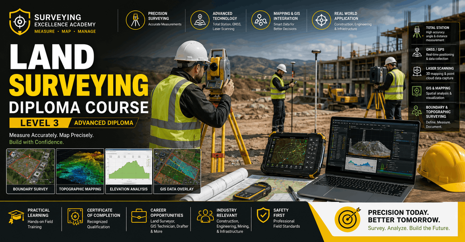
Course Line244₽50,733.96Original price was: ₽50,733.96.₽1,552.05Current price is: ₽1,552.05.Land Surveying Level 3 Advanced Diploma
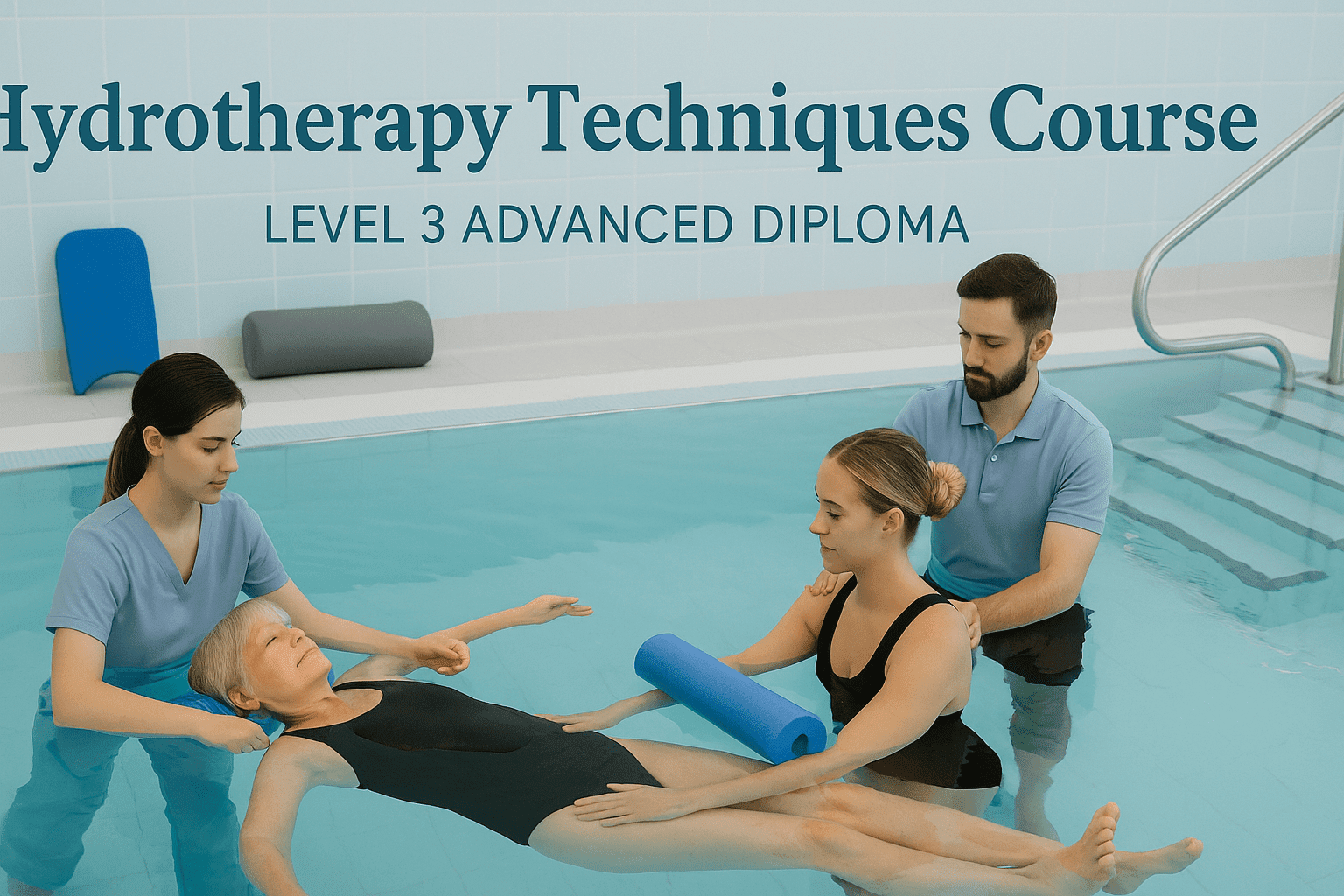
Course Line242₽50,733.96Original price was: ₽50,733.96.₽1,552.05Current price is: ₽1,552.05.Hydrotherapy Techniques and Applications Level 3 Advanced Diploma
Course Line237₽50,733.96Original price was: ₽50,733.96.₽1,552.05Current price is: ₽1,552.05.

Related Courses
PRINCE2 in Practice: Simulated Projects & Case Studies
₽50,733.96Original price was: ₽50,733.96.₽1,552.05Current price is: ₽1,552.05.237PRINCE2 Risk Management: Identifying, Assessing & Controlling Risk
₽50,733.96Original price was: ₽50,733.96.₽1,552.05Current price is: ₽1,552.05.237PRINCE2 Roles & Responsibilities: Managing Teams in a PRINCE2 Environment
₽50,733.96Original price was: ₽50,733.96.₽1,552.05Current price is: ₽1,552.05.237