
Course Features
Price
Study Method
Online | Self-paced
Course Format
Interactive PDFs, Articles & Learning Resources
Duration
3 hours, 5 minutes
Qualification
Professional Skills Development Course
Assessment
Final MCQ Exam (included in price)
Certificate
Verifiable Digital Certificate - Free
Additional info
Lifetime Access | Start Instantly
- Share
Overview
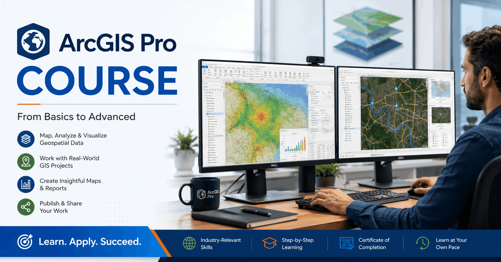
ArcGIS Pro Course is a practical introduction to Geographic Information Systems (GIS) designed for learners who want to create professional maps, manage spatial data, and develop essential geospatial analysis skills. Whether you are completely new to GIS or looking to build a strong foundation in ArcGIS Pro, this course provides a structured learning experience using hands-on demonstrations and real-world mapping workflows.
You will begin by understanding the core principles of GIS and how spatial data is used across industries such as urban planning, environmental management, transportation, utilities, agriculture, public health, and business intelligence. The course then guides you through downloading and installing ArcGIS Pro, navigating its interface, and setting up projects efficiently.
As you progress, you will learn how to prepare spreadsheet data for GIS applications, import shapefiles and feature layers, organise project data, and join attribute tables to create meaningful geographic datasets. The course also demonstrates how to symbolise information using statistical attributes, helping you transform raw location data into clear, visually engaging maps that communicate insights effectively.
Beyond map creation, you will discover how to design professional map layouts suitable for presentations, reports, and publications. You will also learn how to export maps in high-quality formats and publish interactive maps through ArcGIS Online, enabling you to share your work with colleagues, clients, or the public.
Throughout the training, emphasis is placed on practical techniques, industry-relevant workflows, and best practices that can be applied to academic, professional, and personal GIS projects. By completing the lessons, you will gain confidence in handling spatial datasets, producing attractive cartographic outputs, and understanding the complete mapping workflow from data preparation to publication.
Upon successfully completing the course, learners will receive a free course completion certificate. For those who require additional credentials, multiple premium certificate and transcript options are also available for purchase. Students also benefit from 5-star rated support available 24/7 via email, ensuring assistance is always available whenever questions arise during their learning journey.
Who is this course for?
ArcGIS Pro Course is a practical introduction to Geographic Information Systems (GIS) designed for learners who want to create professional maps, manage spatial data, and develop essential geospatial analysis skills. Whether you are completely new to GIS or looking to build a strong foundation in ArcGIS Pro, this course provides a structured learning experience using hands-on demonstrations and real-world mapping workflows.
You will begin by understanding the core principles of GIS and how spatial data is used across industries such as urban planning, environmental management, transportation, utilities, agriculture, public health, and business intelligence. The course then guides you through downloading and installing ArcGIS Pro, navigating its interface, and setting up projects efficiently.
As you progress, you will learn how to prepare spreadsheet data for GIS applications, import shapefiles and feature layers, organise project data, and join attribute tables to create meaningful geographic datasets. The course also demonstrates how to symbolise information using statistical attributes, helping you transform raw location data into clear, visually engaging maps that communicate insights effectively.
Beyond map creation, you will discover how to design professional map layouts suitable for presentations, reports, and publications. You will also learn how to export maps in high-quality formats and publish interactive maps through ArcGIS Online, enabling you to share your work with colleagues, clients, or the public.
Throughout the training, emphasis is placed on practical techniques, industry-relevant workflows, and best practices that can be applied to academic, professional, and personal GIS projects. By completing the lessons, you will gain confidence in handling spatial datasets, producing attractive cartographic outputs, and understanding the complete mapping workflow from data preparation to publication.
Upon successfully completing the course, learners will receive a free course completion certificate. For those who require additional credentials, multiple premium certificate and transcript options are also available for purchase. Students also benefit from 5-star rated support available 24/7 via email, ensuring assistance is always available whenever questions arise during their learning journey.
Requirements
ArcGIS Pro Course is a practical introduction to Geographic Information Systems (GIS) designed for learners who want to create professional maps, manage spatial data, and develop essential geospatial analysis skills. Whether you are completely new to GIS or looking to build a strong foundation in ArcGIS Pro, this course provides a structured learning experience using hands-on demonstrations and real-world mapping workflows.
You will begin by understanding the core principles of GIS and how spatial data is used across industries such as urban planning, environmental management, transportation, utilities, agriculture, public health, and business intelligence. The course then guides you through downloading and installing ArcGIS Pro, navigating its interface, and setting up projects efficiently.
As you progress, you will learn how to prepare spreadsheet data for GIS applications, import shapefiles and feature layers, organise project data, and join attribute tables to create meaningful geographic datasets. The course also demonstrates how to symbolise information using statistical attributes, helping you transform raw location data into clear, visually engaging maps that communicate insights effectively.
Beyond map creation, you will discover how to design professional map layouts suitable for presentations, reports, and publications. You will also learn how to export maps in high-quality formats and publish interactive maps through ArcGIS Online, enabling you to share your work with colleagues, clients, or the public.
Throughout the training, emphasis is placed on practical techniques, industry-relevant workflows, and best practices that can be applied to academic, professional, and personal GIS projects. By completing the lessons, you will gain confidence in handling spatial datasets, producing attractive cartographic outputs, and understanding the complete mapping workflow from data preparation to publication.
Upon successfully completing the course, learners will receive a free course completion certificate. For those who require additional credentials, multiple premium certificate and transcript options are also available for purchase. Students also benefit from 5-star rated support available 24/7 via email, ensuring assistance is always available whenever questions arise during their learning journey.
Career path
ArcGIS Pro Course is a practical introduction to Geographic Information Systems (GIS) designed for learners who want to create professional maps, manage spatial data, and develop essential geospatial analysis skills. Whether you are completely new to GIS or looking to build a strong foundation in ArcGIS Pro, this course provides a structured learning experience using hands-on demonstrations and real-world mapping workflows.
You will begin by understanding the core principles of GIS and how spatial data is used across industries such as urban planning, environmental management, transportation, utilities, agriculture, public health, and business intelligence. The course then guides you through downloading and installing ArcGIS Pro, navigating its interface, and setting up projects efficiently.
As you progress, you will learn how to prepare spreadsheet data for GIS applications, import shapefiles and feature layers, organise project data, and join attribute tables to create meaningful geographic datasets. The course also demonstrates how to symbolise information using statistical attributes, helping you transform raw location data into clear, visually engaging maps that communicate insights effectively.
Beyond map creation, you will discover how to design professional map layouts suitable for presentations, reports, and publications. You will also learn how to export maps in high-quality formats and publish interactive maps through ArcGIS Online, enabling you to share your work with colleagues, clients, or the public.
Throughout the training, emphasis is placed on practical techniques, industry-relevant workflows, and best practices that can be applied to academic, professional, and personal GIS projects. By completing the lessons, you will gain confidence in handling spatial datasets, producing attractive cartographic outputs, and understanding the complete mapping workflow from data preparation to publication.
Upon successfully completing the course, learners will receive a free course completion certificate. For those who require additional credentials, multiple premium certificate and transcript options are also available for purchase. Students also benefit from 5-star rated support available 24/7 via email, ensuring assistance is always available whenever questions arise during their learning journey.
-
- Course Introduction – Welcome to ArcGIS Pro 00:10:00
- What is GIS? Introduction to ArcGIS Pro Concepts 00:10:00
- How to Download and Install ArcGIS Pro 00:10:00
- Navigating the ArcGIS Pro Desktop Interface 00:10:00
-
- Formatting Spreadsheet Data for GIS Compatibility 00:10:00
- Creating and Setting Up a New Project in ArcGIS Pro 00:10:00
- Adding Shapefiles and Data Layers to Your Project 00:10:00
- Joining Spreadsheet Data to Feature Layers 00:10:00
- Symbolising Data Using Statistical Attributes 00:10:00
- Designing a Map Layout in ArcGIS Pro 00:10:00
- Exporting Your Map for Print or PDF 00:10:00
- Publishing to the Web – Sharing Maps via ArcGIS Online 00:10:00
- Premium Certificate 00:15:00

No Reviews found for this course.
Is this certificate recognized?
Yes, our premium certificate and transcript are widely recognized and accepted by embassies worldwide, particularly by the UK embassy. This adds credibility to your qualification and enhances its value for professional and academic purposes.
I am a beginner. Is this course suitable for me?
Yes, this course is designed for learners of all levels, including beginners. The content is structured to provide step-by-step guidance, ensuring that even those with no prior experience can follow along and gain valuable knowledge.
I am a professional. Is this course suitable for me?
Yes, professionals will also benefit from this course. It covers advanced concepts, practical applications, and industry insights that can help enhance existing skills and knowledge. Whether you are looking to refine your expertise or expand your qualifications, this course provides valuable learning.
Does this course have an expiry date?
No, you have lifetime access to the course. Once enrolled, you can revisit the materials at any time as long as the course remains available. Additionally, we regularly update our content to ensure it stays relevant and up to date.
How do I claim my free certificate?
I trust you’re in good health. Your free certificate can be located in the Achievement section. The option to purchase a CPD certificate is available but entirely optional, and you may choose to skip it. Please be aware that it’s crucial to click the “Complete” button to ensure the certificate is generated, as this process is entirely automated.
Does this course have assessments and assignments?
Yes, the course includes both assessments and assignments. Your final marks will be determined by a combination of 20% from assignments and 80% from assessments. These evaluations are designed to test your understanding and ensure you have grasped the key concepts effectively.
Is this course accredited?
We are a recognized course provider with CPD, UKRLP, and AOHT membership. The logos of these accreditation bodies will be featured on your premium certificate and transcript, ensuring credibility and professional recognition.
Will I receive a certificate upon completion?
Yes, you will receive a free digital certificate automatically once you complete the course. If you would like a premium CPD-accredited certificate, either in digital or physical format, you can upgrade for a small fee.
Course Features
Price
Study Method
Online | Self-paced
Course Format
Interactive PDFs, Articles & Learning Resources
Duration
3 hours, 5 minutes
Qualification
Professional Skills Development Course
Assessment
Final MCQ Exam (included in price)
Certificate
Verifiable Digital Certificate - Free
Additional info
Lifetime Access | Start Instantly
- Share

GMAT Time Management & Section Pacing Strategies
Course Line237£490.00Original price was: £490.00.£14.99Current price is: £14.99.British Slang & Colloquialisms: Everyday Expressions, Regional Variations & Rhyming Slang
Course Line237£490.00Original price was: £490.00.£14.99Current price is: £14.99.Teaching Assistant
Course Line243£490.00Original price was: £490.00.£14.99Current price is: £14.99.



Related Courses
PRINCE2 in Practice: Simulated Projects & Case Studies
£490.00Original price was: £490.00.£14.99Current price is: £14.99.237PRINCE2 Risk Management: Identifying, Assessing & Controlling Risk
£490.00Original price was: £490.00.£14.99Current price is: £14.99.237PRINCE2 Roles & Responsibilities: Managing Teams in a PRINCE2 Environment
£490.00Original price was: £490.00.£14.99Current price is: £14.99.237




Related Courses
PRINCE2 in Practice: Simulated Projects & Case Studies
£490.00Original price was: £490.00.£14.99Current price is: £14.99.237PRINCE2 Risk Management: Identifying, Assessing & Controlling Risk
£490.00Original price was: £490.00.£14.99Current price is: £14.99.237PRINCE2 Roles & Responsibilities: Managing Teams in a PRINCE2 Environment
£490.00Original price was: £490.00.£14.99Current price is: £14.99.237

